September 10, 2024
Presented by Leidos
Featuring:
- Mark Munsell, Chief AI Officer, National Geospatial-Intelligence Agency
- Thomas Boggs, Chief AI Engineer, AI Accelerator, Leidos
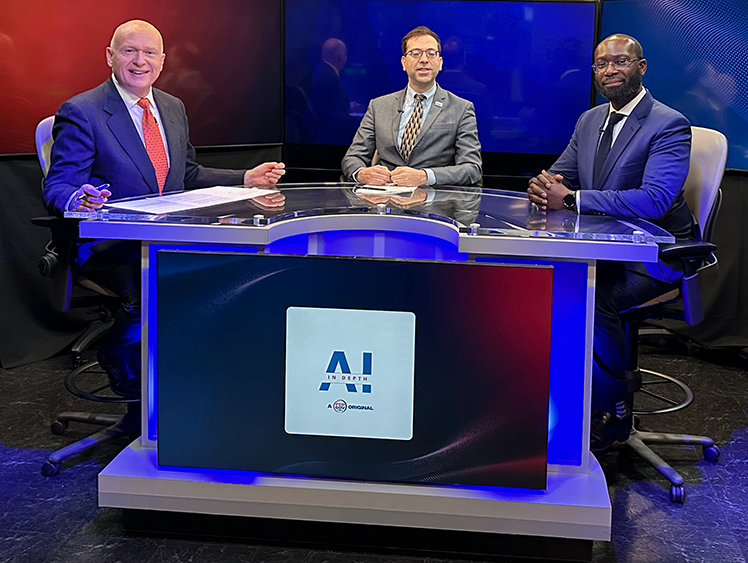
 Mark Munsell and Thomas Boggs , discuss how AI is currently utilized, with a particular focus on computer vision technologies applied to satellite imagery. This technology is pivotal for monitoring and analyzing objects and activities on Earth from space, aiding in the detection of potential threats and critical developments. Munsell elaborates on NGA’s approach, which combines open-source information with proprietary data to enhance the accuracy and effectiveness of their geospatial intelligence models. Boggs highlights the transformative impact of generative AI, noting its role in improving object detection and providing contextual insights. He emphasizes the importance of developing trusted AI systems—models that are reliable, explainable and resilient to changing conditions. They also touch upon the need for an AI-literate workforce, capable of understanding and effectively utilizing these advanced technologies while ensuring that AI tools enhance rather than replace human expertise.
Key Takeaways:
-
AI in Satellite Imagery: NGA uses AI to enhance satellite imagery analysis for detecting objects and activities from low Earth orbit.
-
Generative AI Integration: Generative AI improves object detection and contextual analysis by synthesizing and interpreting vast amounts of data.
-
Trusted AI and Human Oversight: Ensuring AI tools are reliable and unbiased, with robust validation and human oversight, is essential for responsible use in defense and intelligence contexts.

.webp)